Elizabeth River & Tidal Crossings
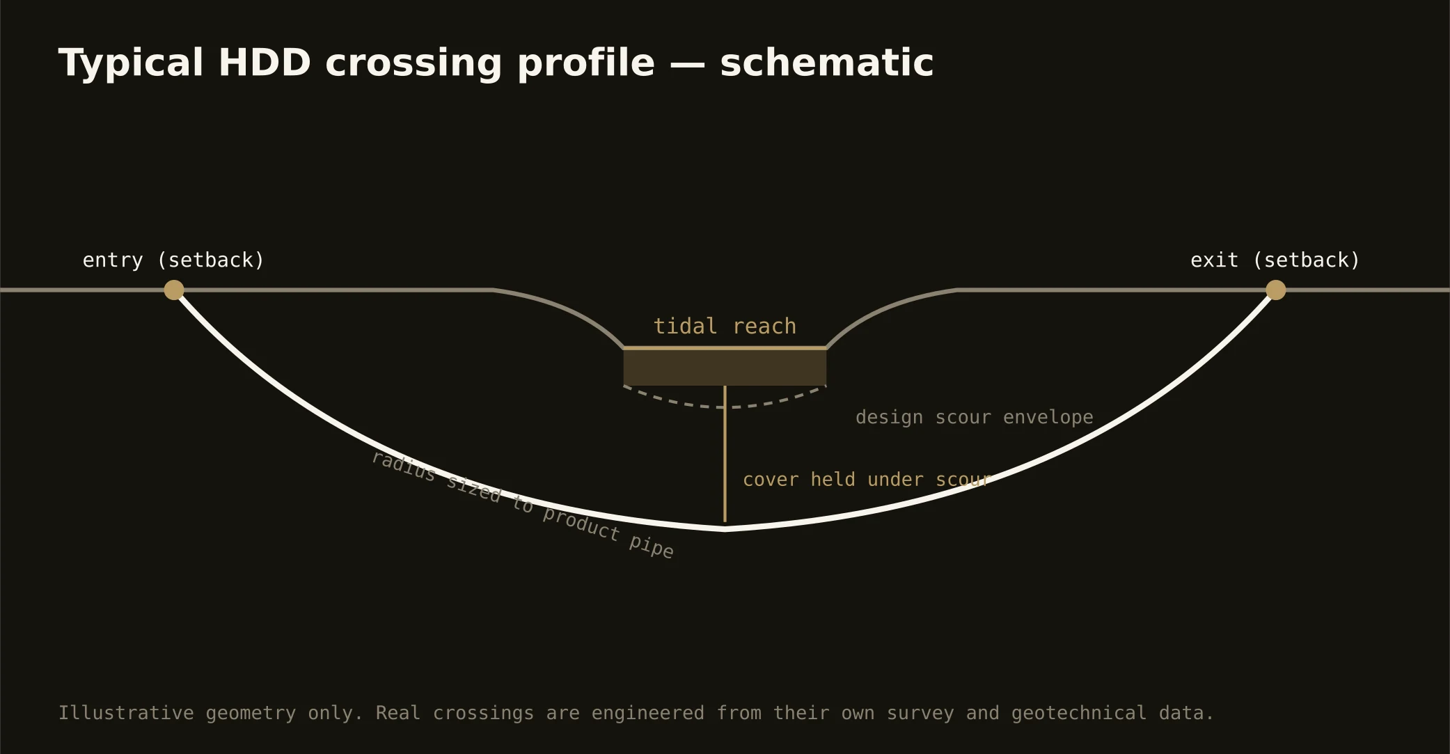
Hampton Roads' geography is a lattice of navigable water, and the utility map crosses it constantly: the Elizabeth River's branches carrying the harbor's working traffic between Norfolk, Portsmouth, and Chesapeake; the Lafayette, the Lynnhaven, and the tidal creeks threading every city; the Intracoastal Waterway's cuts through Chesapeake's south; and the bay shore itself. The signature tidewater bore runs beneath them: entry and exit set back from bulkheads and living shorelines, a profile holding cover under channel and anchorage depths, and soft-ground engineering — buoyancy, organics, settlement — at full concentration.
The authority stack fits working federal water: navigation review on the channels, federal water-resource permitting, state and local wetlands boards whose tidewater jurisdiction is serious and parcel-specific, the environmental interests of a river the region has spent decades restoring, and the road, rail, or installation owner overhead — with defense coordination joining wherever the Navy's shore is in play. Our quotes map the full stack for your actual crossing and schedule to its honest clocks, tides included: marine-side staging and shallow-cover work respect the water's calendar here.
Fluid discipline runs bay-grade: containment on both banks, conservative pressures in low-cohesion sands that telegraph returns, and the response plan written before the pilot turns — in a region whose oyster reefs and river restoration are civic achievements, that's simply professional citizenship.