How Directional Drilling Works in Hampton Roads Ground
Tidewater: sand, clay, and water from the first foot
The metro sits on the coastal plain's youngest, lowest shelf: marine and estuarine sands, soft clays, and buried organics stacked deep, with bedrock a distant rumor and the surficial water table at or near the surface across most of the map — toward the Dismal Swamp, peat country makes the organics explicit. Drilling is soft-ground engineering by definition: buoyancy calculated on every pull, pits engineered as dewatering structures, fluid programs disciplined for clean sands that hold nothing back, and settlement designed for on anything serving critical loads. The region rewards crews that respect wet ground and quietly retires the ones that don't.
Seven cities, one harbor, many uniforms
The permit geometry is its own local subject: seven independent cities own their streets — no county layer, VDOT mainly at the edges — while the harbor's working water brings navigation and wetlands authorities, and the defense establishment's shore brings federal coordination to more alignments than any other metro we serve. Flood-resilience programs add city-by-city design standards in the recurrent-flooding districts. None of it is exotic once it's mapped; all of it is scope, and our quotes map it before pricing because in Hampton Roads the authority list is the project plan.
The sequence, tidewater edition
The bones are standard — locates plus private designating, potholes on every claimed utility, pilot on profile, ream to about one and a half times the product, pull, restore. Tidewater bends: dewatered, shored pits as the default; ballast on the product; organics logged into the fluid plan; tide windows on marine-adjacent work; hurricane-season staging discipline; and restoration that respects everything from oceanfront turf to Peninsula brick.
Who owns what you're crossing
The seven cities run their own ROW processes; VDOT permits the interstates and the rural system; the bridge-tunnel corridors carry their own programs. Navigable water brings federal navigation and water-resource review plus the tidewater wetlands boards; the Navy and its installations bring federal-facility coordination; the port and railroads permit their own ground; Currituck's Carolina corner adds NCDOT and its county process at the region's southern door. The quote names every owner on your alignment — here, the first question is which city, and the second is how close to the water.
Straight answers
Will you hit rock on my bore?
No — tidewater didn't stock any at utility depth, and that's the honest headline. The real cautions are wet ones: buoyancy, organics, dewatering, and fluid discipline in sands that telegraph mistakes. The quote prices those actual conditions, which is exactly what tidewater competence means.
How deep do bores run under Hampton Roads streets?
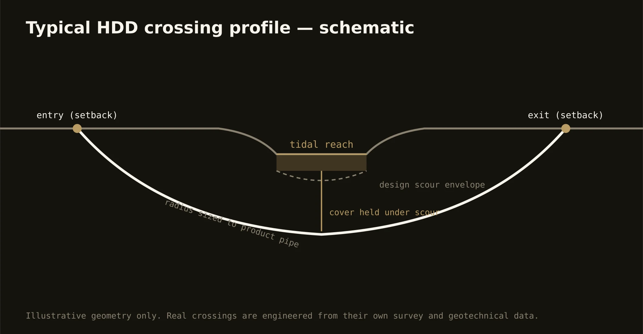
Cover follows the owning city's standard — or VDOT's on its system — and sits below everything potholed on the alignment, with tidal crossings running to navigation and wetlands criteria. In ground this wet, depth is an engineering choice about water as much as cover, and the bore plan states yours before mobilization.
Does sea-level rise actually change utility work here?
It already has: the region leads the coast in resilience investment, and flood-district projects now carry elevation-aware designs, hardened materials, and undergrounding as standard answers. For boring, that means steady conversion work and design standards that assume water — our quotes speak that language because the region's capital plans do.
Ready to put a number on a real crossing? Send the scope — a person prices it.